WEATHER ALERT
ENVIRONMENT CANADA
*************************
Special weather statement in effect for:
- Burlington - Oakville
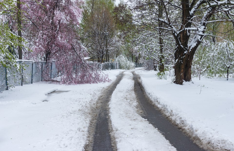
Snow mixed with rain expected tonight into Sunday.
A low pressure system will deliver a mix of wintry weather beginning this evening and continuing through Sunday. A few centimetres of snow are expected this evening and then a switch to rain is likely Sunday morning before more cold air arrives and a few more centimetres of snow is possible by Sunday evening. Total snowfall over the area is expected to be less than 5 cm however if the cold air pushes southward over the region then a few more centimetres of snow is possible and travel conditions could become hazardous.
The exact timing and amounts of snow are uncertain at this time however travellers should be prepared for variable conditions on the roads and surfaces may become slippery at times this weekend.
Please continue to monitor alerts and forecasts issued by Environment Canada. To report severe weather, send an email to [email protected] or tweet reports using #ONStorm.
*************************


