Thousands of Ontario residents were without power Saturday, the province's largest electricity utility said, after strong winds caused by a cold front buffeted most of the province's southern and eastern regions as well as some areas in the north.
Hydro One said it had restored power to 81,000 customers by Saturday evening but anticipated some people in the hardest hit areas of Ontario, including parts of Kingston, would be without power overnight.
About 9,000 customers were without electricity as of around 9 p.m., the utility said.
At one point, Hydro One said around 36,000 customers were without power at the same time Saturday afternoon.
Burlngton Hydro reported several outages across the city throughout the afternoon, According the the utility's Twitter feed, 950 properties in Aldershot and 575 customers in the PInedale/New Street area were without power. Posts later in the day indicated that most power had been restored by around 4 p.m.
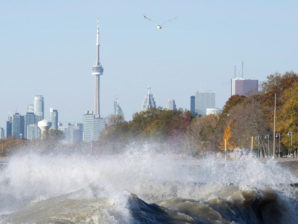
Environment Canada advisories issued earlier Saturday morning warned of winds gusts up to 90 kilometres per hour in affected areas, including in the Greater Toronto Area, Ottawa, and the Niagara region.
"That's pretty much what happened," said Peter Kimbell, a warning preparedness meteorologist with the weather agency.
"A very strong cold front ... was responsible for the strong gusts across Southern Ontario," he said.
One of the highest wind gusts recorded Saturday was in Port Colborne, Ont., on the shores of Lake Erie, where wind speeds reached as high as 100 kilometres per hour.
Environment Canada said earlier that regions on the eastern shores of Lake Erie and Lake Ontario in particular could see sporadic gusts exceeding 90 kilometres per hour coming off the water.
But the stormy conditions were relatively short-lived as they passed over the province, Kimbell said, adding areas battered by high winds should already be seeing local improvement.
"The peak winds were relatively brief, maybe an hour," he said.
The cold front was moving east, Kimbell said, noting the active weather associated with it was expected to move east throughout the day.
"Eastern Ontario and southern Quebec are in the crosshairs of (the cold front) later today," he said.
The agency had lifted its wind-related advisories for Ontario by Saturday evening. It issued winter weather travel advisories for areas around Lake Huron, including Barrie, forecasting snowfall accumulations up to 10 centimetres by early Sunday.
Extreme cold warnings were issued for northern Ontario regions around Hudson Bay, where the agency forecasted wind chill values near -45 C Saturday though Wednesday morning. It warned snow squalls could dump up to 40 centimetres of snow on the area around Sault Ste. Marie by Monday.
This report by The Canadian Press was first published Dec. 3, 2022.
The Canadian Press


